- 4x4 Selfdrive Uganda
- +256 701819223
- +256 774819223
- info@4x4selfdriveuganda.com

Who Pays When a Tire Goes
November 11, 2026Is There a Jungle in East Africa? Where the Rainforest Actually Is
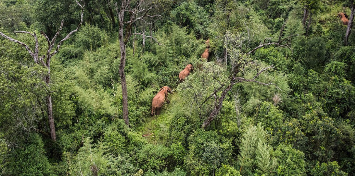
Yes, there is rainforest in East Africa, but it comes in pockets. Of the three countries covered here, Uganda has the most of it within easy reach. Kenya’s best-known example is Kakamega, and Tanzania’s rainforests (Udzungwa, Gombe, Mahale) sit in the south and west, away from the famous savanna parks.
“Jungle” isn’t a technical term. Britannica’s dictionary defines it as a tropical forest where plants and trees grow very thickly, and that is the sense used here. This guide covers what you can visit in Uganda, Kenya and Tanzania, what the forest is actually like to walk through, and which of it you can reach by road.
Why Uganda has the most of it
Queen Elizabeth National Park sits where the East African savanna and the Congo forest biomes overlap. Semuliki National Park goes further. It is the only tract of true lowland tropical forest in East Africa, and is the eastern limit of the Congo’s Ituri Forest. That is why Semuliki has birds and monkeys that UWA says are found nowhere else in East Africa.
The Ugandan forests, side by side
| Forest | Size | What kind of forest | What you go for | Distance from Kampala |
| Semuliki NP | 220 km² | Lowland tropical forest at 670–760 m, the Ituri edge | 441 bird species, 11 primate species, the Sempaya hot springs | Fort Portal is roughly 290–300 km. Sempaya is another 60 km on tarmac |
| Bwindi Impenetrable NP | 321 km² | Lowland to montane forest, 1,160–2,607 m | Gorilla tracking, 10 primate species, 23 Albertine Rift endemic birds | About 460 km to Buhoma. UWA recommends a 4×4 for the final dirt stretch |
| Kibale NP | 795 km² | Forest on the Fort Portal plateau (1,590 m), grading to savanna on the rift floor | Chimpanzee tracking, 13 primate species, an estimated 1,450 chimps | About 335 km via Fort Portal. Every route is surfaced |
| Budongo Forest | 825 km² | Moist semi-deciduous forest with some savanna patches | About 800 chimpanzees, 360 bird species | About 30 km from Masindi, which UWA puts at 305 km from Kampala |
| Kyambura Gorge and Maramagambo (Queen Elizabeth NP) | Part of a 1,978 km² park | A forested chasm 100 m deep, and a forest beside the crater lakes | Chimp tracking in the gorge, forest birds and primates in Maramagambo | 410–420 km to Mweya, depending on the route |
| Mgahinga and Rwenzori | 33.7 km² and 995 km² | Montane forest, then bamboo and moorland as you climb | Golden monkeys at Mgahinga. At Rwenzori, the vegetation itself | Rwenzori: Kasese is 375 km via Fort Portal |
If you want the most reliable forest wildlife: Kibale. There is a better-than-90% chance of finding chimps, and walks leave three times a day.
If you want to see forest species found nowhere else in East Africa: Semuliki. It has Congo-basin birds and monkeys that none of the other forests can offer.
If you are already going to Murchison Falls: Budongo lies on both southern routes into the park, and the Kaniyo Pabidi section has a habituated chimp group.
Kenya: Kakamega
Kakamega Forest in western Kenya, near the Uganda border, is described as Kenya’s last remnant of the Guineo-Congolian rainforest. Wikipedia gives a forest reserve of about 178 km² plus a 44.7 km² national reserve, and 367 recorded bird species. Blue monkeys, redtail monkeys and De Brazza’s monkeys live there.
Kakamega is small next to Kibale or Budongo. Because it sits near the Uganda border, it fits naturally as a stop on a Uganda–Kenya route.
Tanzania: Udzungwa, Gombe and Mahale
- Udzungwa Mountains National Park (about 1,990 km²) is the one that suits a road trip. It has thick rainforest and two primates found nowhere else, the Udzungwa red colobus and the Sanje mangabey. A 4×4 self-drive operator’s guide gives about 3-4 hours’ drive from Iringa and 7–9 hours from Dar es Salaam, and says the final stretch can get muddy in the rains.
- Gombe Stream National Park is only 35 km² and is accessible only by boat. Its vegetation runs from grassland through woodland to rainforest.
- Mahale Mountains National Park (613 km²) is also on Lake Tanganyika. The Tanzania Tourism Board page lists three ways in: a charter flight, a lake boat, and a road from Kigoma (128 km, about 5 hours.
What walking in the forest is actually like
It is not hot and steamy everywhere, and the differences between forests are large.
- Bwindi is cold. UWA gives an annual average of 7–20°C, coldest in June and July, and up to 2,390 mm of rain a year. It is advisable to bring warm clothing and wet-weather gear in every season.
- Kibale averages 14–27°C. The forested north is the wettest part, mostly in March–May and September–November.
- Semuliki is the warmest at 18–30°C, with about 1,250 mm of rain concentrated in March–May and September–December.
- Kibale chimp walks last 2–5 hours. A Bwindi gorilla trek lasts anywhere from a few hours to a full day, depending on where the group nested the night before.
What else is on the way, and nearby
The forests cluster into three areas, and each has other things worth stopping for.
Around Fort Portal: Kibale, Semuliki and Rwenzori
Fort Portal is the hub for three of the forests. Kampala to Fort Portal is roughly 290–300 km, and the longer southern route via Mbarara and Kasese (about 465 km to Semuliki) lets you break the drive at Lake Mburo National Park and Queen Elizabeth National Park.
- Bigodi Wetland Sanctuary is a community-run swamp walk 5 km south of Kibale’s Kanyanchu centre. It adds forest-edge and wetland birds to a chimp day.
- Crater lakes and tea country. The western edge of Kibale is dotted with volcanic crater lakes (the Ndali-Kasenda area), and a working tea factory can be toured. Accommodation around the crater area is an easy early-morning drive from Kibale’s activities.
- Sempaya hot springs (Semuliki). The female spring, Nyansimbi, is a boiling geyser that throws water and steam up to 2 m, 15 minutes’ walk-through palm forest from the Sempaya office. Visitors cook eggs in it. The male spring, Bintente, is an hour’s walk away and is a steaming pool 12 m across.
- The Fort Portal–Semuliki road itself. UWA calls the 700 m descent into the rift valley one of the most scenic drives in Uganda.
- Toro-Semuliki Wildlife Reserve, 545 km² and 20 km east of the national park. It has savanna game drives, guided forest walks to habituated chimps, and boat trips from Ntoroko on Lake Albert for shoebill, hippos and Nkusi Falls. Chimps are found most reliably in the rains, when the figs are fruiting.
- Rwenzori Mountains National Park. Day walks from the Kilembe and Nyakalengija trailheads go into the lower forest zone. The Kazingo Trail is a one-day traverse of the northern ridge from the Fort Portal plateau down to Bundibugyo.
- Queen Elizabeth National Park is reachable from the same road system and this park offers the Kazinga Channel launch cruise (2 hours), the Katwe Salt Lake, and the 27 km Crater Drive.
South-west: Bwindi
The route from Kampala runs through Mbarara and Ntungamo to Rukungiri, then a slow dirt road via Kihihi and Butogota to Buhoma. Along it and around it:
- Lake Mburo National Park lies on the Mbarara road and is a natural overnight before the long drive on.
- Ishasha, the southern sector of Queen Elizabeth National Park, is 62 km from Buhoma on the main route. It is known for tree-climbing lions. Buhoma is 160 km from Mweya, so a Queen Elizabeth and Bwindi combination is a practical one.
- Lake Bunyonyi sits near the Ruhija trailhead, and is a good place to break the journey. It is adored for having no crocodiles, hippos or bilharzia, so swimming is possible.
- Lake Mutanda is the quieter option for the Rushaga and Nkuringo side.
- Inside Bwindi, beyond gorillas: the Waterfall Trail (three waterfalls, tree ferns and orchids), the Rushura Hill viewpoint over the Albertine Rift and Lake Edward, the River Ivi walk between Buhoma and Nkuringo, and the Batwa-guided Buniga Forest Walk at Nkuringo.
- Mgahinga is a short way beyond if you carry on to Kisoro. It offers golden monkey tracking and volcano climbs.
North-west: Budongo and Murchison Falls
- Ziwa Rhino and Wildlife Ranch is on the Kampala–Gulu road, 5 km before the Masindi turning. It covers 70 km², and visitors track Uganda’s only wild rhinos on foot.
- Kaniyo Pabidi, the Budongo section inside Murchison’s conservation area, has the habituated chimps and some rare forest birds, including the chocolate-backed kingfisher and white-thighed hornbill.
- Murchison Falls itself. The 3-hour boat cruise from Paraa runs up to the falls. The Nile forces through a 6 m gap and drops 45 m. A separate cruise goes down to the delta for shoebill, and the Paraa ferry is part of any visit.
- Karuma Falls is on the northern approach, 260 km from Kampala, for anyone arriving from Gulu or Kidepo.
Reaching the forests in your own vehicle
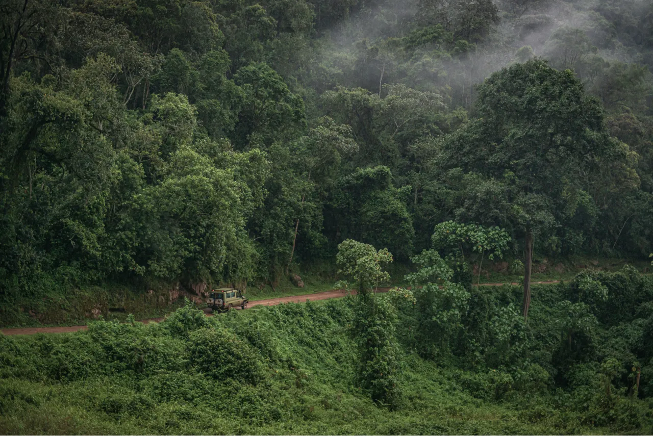
Kibale and Semuliki are reached on tarmac through Fort Portal. All routes to Kibale are surfaced, and the Fort Portal–Semuliki road is tarmac. Bwindi is the exception: it has slow dirt roads through the highlands to Buhoma and recommends a 4×4 Safari Vehicle. Bwindi gets up to 2,390 mm of rain a year, so ask how the rental company treats that road in the wet season, and check how your insurance treats tyre and underbody damage.
Before you book a vehicle for a forest leg, ask the rental company:
- Is this vehicle permitted on the road to the Bwindi trailheads (Buhoma, Ruhija, Rushaga, Nkuringo), including in the wet season?
- Are tyres, windscreen and underbody damage covered or excluded, and what would I pay?
- If we break down far from a town, who do we call, and what is the recovery arrangement?
That will give you peace during you search for the beautiful forests of East Africa.
